Meeting your requirements with market leading solutions and services
Digital Asset Inventories
We work with rail networks to help them digitise their asset inventories while preserving legacy asset information critical for business continuity. Our services cover the full range of activities to realise a successful digital inventory of your assets.
Foundation Datasets
We deliver high quality digital datasets that describe rail networks terms of curvature, gradient and assets to support the implementation of digital systems, track upgrades and new condition monitoring technologies.
Infrastructure Compliance Reporting
Accurate LiDAR datasets can drive efficiencies in routine maintenance by automating the measurement of track and corridor assets. We offer customised reports to meet your technical maintenance plans and engineering standards.
Dilapidation & Completions Surveys
Documenting rail infrastructure condition before major construction work occurs is easy with high quality imagery and LiDAR datasets. Our experienced team will work with you to ensure that your completions requirements across all rail disciplines are met on time and to the satisfaction of the rail network.
3D Visualisation
Our cloud-based visualisation solutions are the ideal way to visualise, collaborate and measure from within point cloud datasets. Our solutions are configured specifically for rail networks and are supported by local product teams.
Clearance Investigations
Agonics specialises in at-scale clearances investigations on railway networks. Whether to assess new rollingstock designs against existing infrastructure or to check clearances for new assets, our advanced solutions provide timely answers so that necessary modifications can be efficiently planned and executed.
OUR TECHNOLOGY
Easily view and interact with your LiDAR datasets
XERRA is a leading LiDAR processing and analysis platform that can consume any industry standard LiDAR dataset for rail network work wide analysis and reporting.
XERRA was created to address industry demands to automate inspections of rail infrastructure to relieve pressure on maintenance crews and reduce total time spent in the danger zone.
Learn MoreClient Testimonials
Don’t take our word for it – here’s what our clients say:
“XERRA is an excellent supplementary tool for engineering design and construction planning. It helps fill the gaps that are left by traditional physical survey, site photography and inspection records. If you are working on a remote project with limited physical survey, or where project design and construction teams are limited in their ability to visit the sites, you need to be using XERRA.”

Mario Vlasich
McConnell Dowell
“Xerra is a powerful, user-friendly visualisation tool. It’s obvious that it has been developed by people who have an in-depth understanding of the nuances of the railways.”

Engineer – Major Works
Sydney Trains
“We chose to work with Agonics due to their team’s deep experience in working at scale across rail networks, their proven Mobile Laser Scanning (MLS) and visualisation technologies, and expertise in converting complex rail engineering requirements into working solutions.”

Based on the successful completion of the Interstate Asset Capture Project
ARTC
FEATURED PROJECTS
Trusted by industry for over 20 years
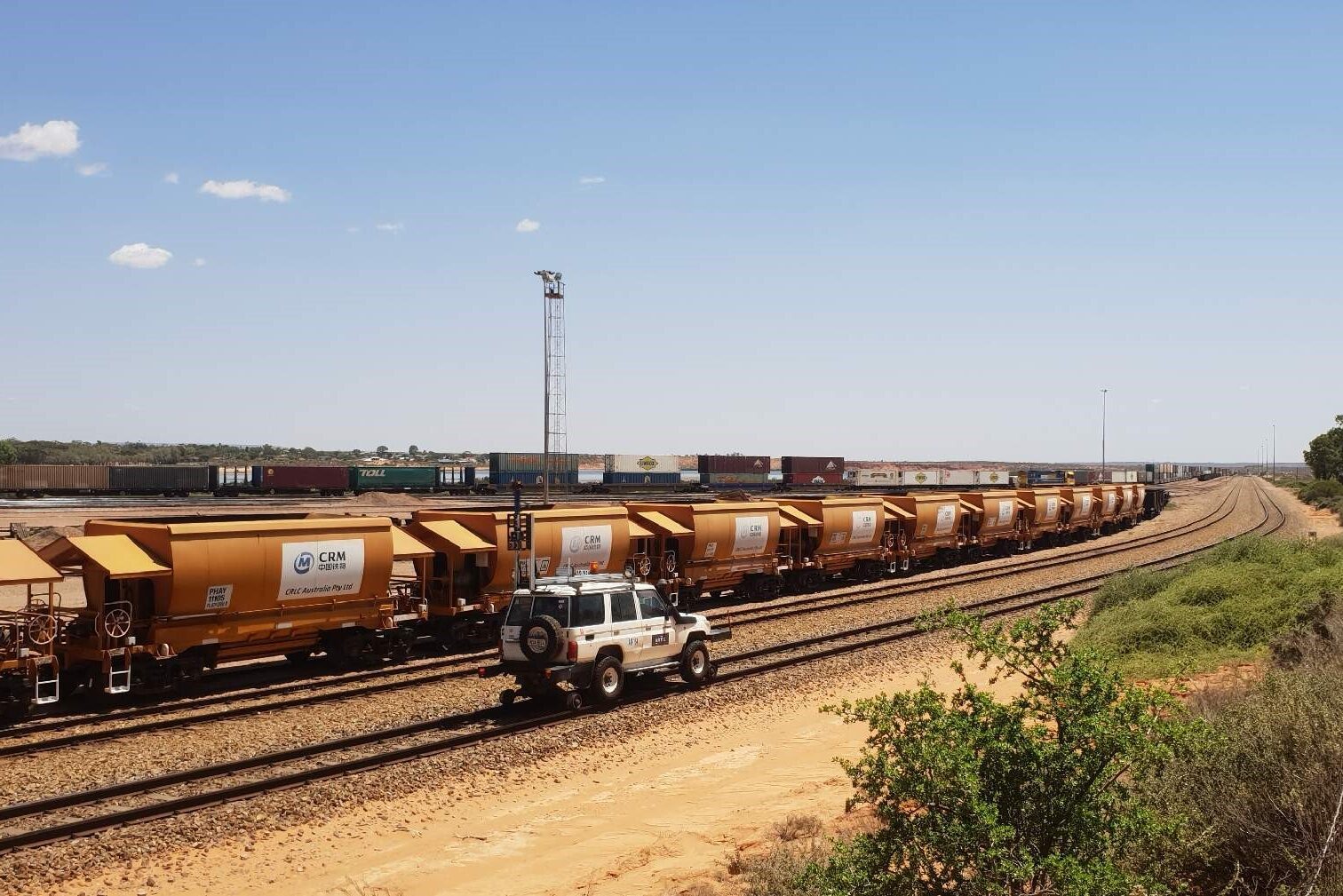
ARTC – Interstate Network Mapping Project
Agonics delivers digital twin and updated asset inventory across 9,000 Km of Interstate Freight Network
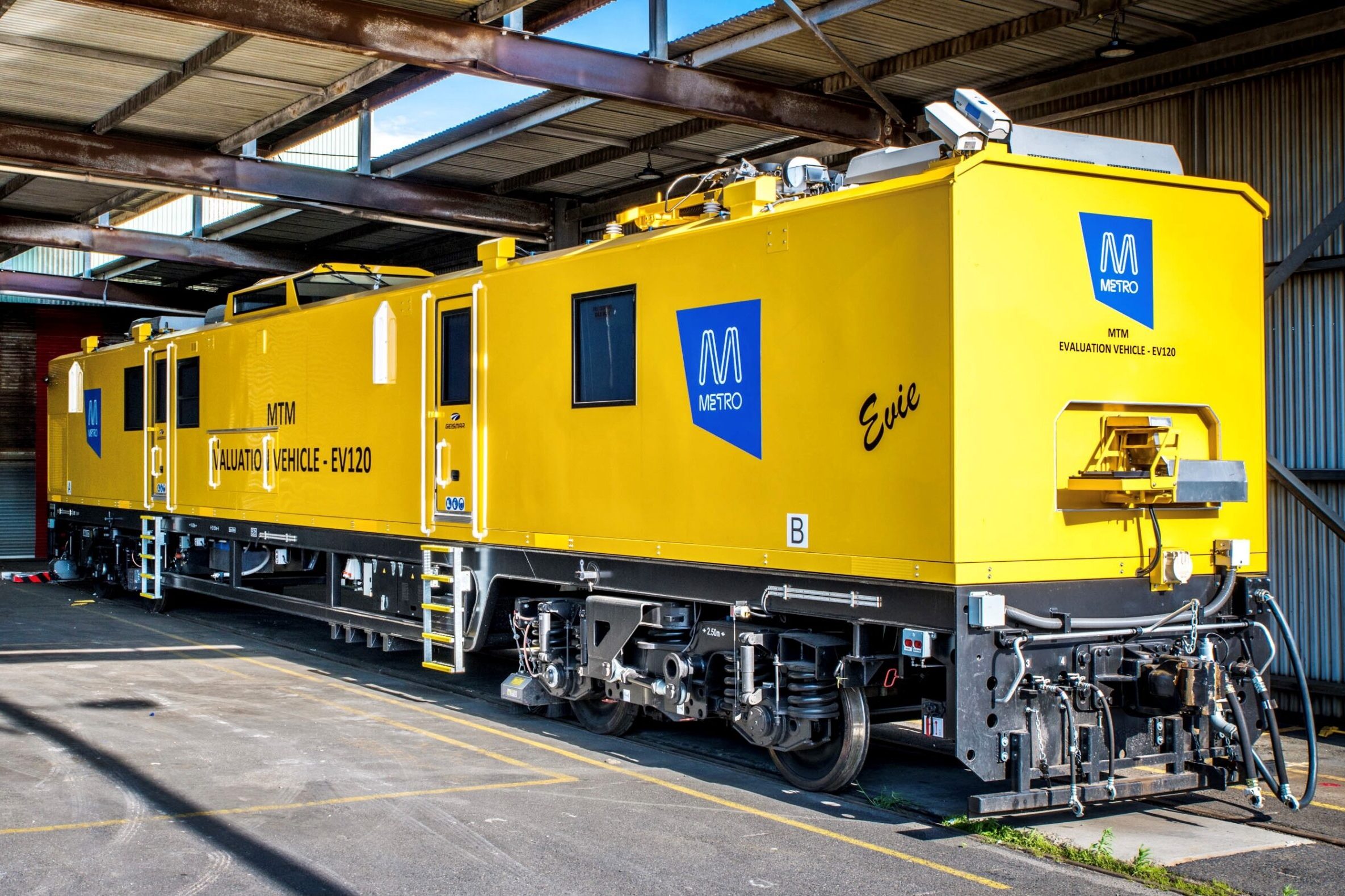
Metro Trains – Whole of Network Mobile Laser Survey (MLS)
Agonics delivers network wide imagery, LiDAR and derived digital datasets to support MTM operation
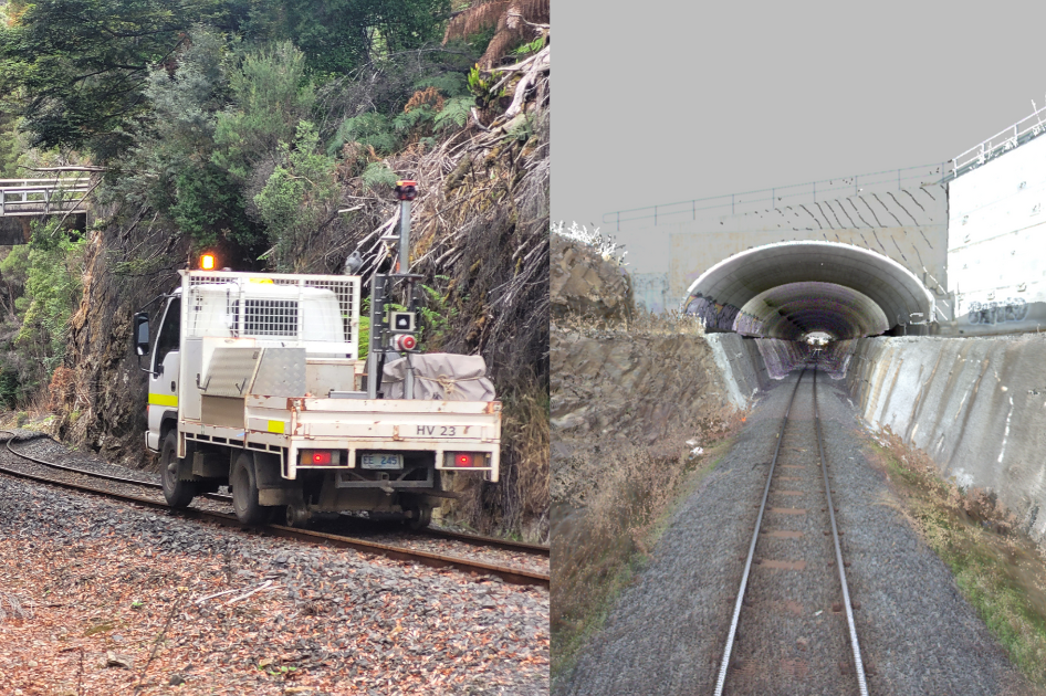
TASRAIL Network Asset Survey
MLS survey across the extensive freight rail network TasRail delivers critical digital datasets and clearance reports for TasRail systems.
Are you ready to use LiDAR for your next project?
NEWS
Our day to day
Discover the latest news, updates, current events and stories.
Follow Our Journey

Agonics captures LiDAR data along the historic West Coast Wilderness Railway
Last week, our team achieved a unique milestone by capturing LiDAR data and imagery along the 35km stretch of the West Coast Wilderness Railway (WCWR) in Tasmania’s captivating rainforest, from Strahan to Queenstown.
learn more
Another successful RISSB conference on May 1st in Melbourne
We had a great time participating in the recent RISSB Conference, where Dave Presley shared his expertise on “Line of Sight Assessment Using a Digital Workflow.”
learn more
Agonics and UGL Regional Linx Collaborate to Enhance Rail Network Safety and Efficiency
We were delighted to collaborate with UGL Regional Linx to deliver a full operational network LiDAR and imagery solution using our state-of-the-art Mobile Laser System (MLS) hosted in our innovative XERRA platform. This enables users to complete inspection and perform network measurements remotely from the safety of their desktop.
learn moreContact us
Find out how we can help your business
Our Clients
Companies that trust our work