MAY 2022
As LiDAR becomes more important in day to day rail operations and maintenance we asked Agonics Director, David Presley, about the parallels between the historical adoption of GPS and the current adoption of LiDAR by industry.
This is what he had to say:
“I’d say that just as LiDAR is gradually becoming accepted by rail for use case and compliance reporting, the adoption of new GPS technology by the offshore oil and gas exploration sector last century was similarly cautious and, in some quarters, treated with scepticism”
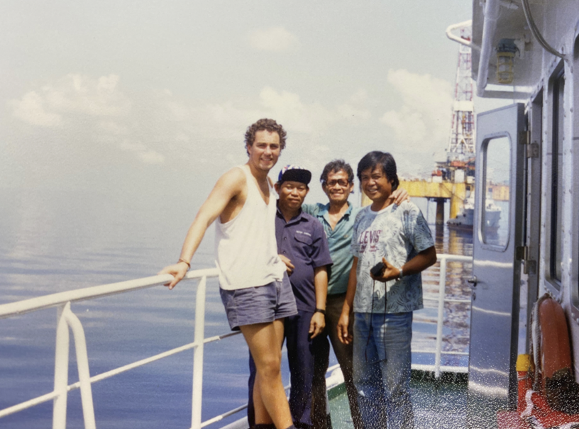
“In the early 90’s (for the information of my colleagues at Agonics I am of course referring to the 1990’s), I worked offshore in the oil and gas sector and for many years rig and pipeline vessel navigation was required to be supported by both radio (transponder) positioning and GPS positioning. It took several years for that industry to have confidence in the reliability and accuracy of GPS before it was accepted as the sole and primary positioning system. We see the same cautious approach to LiDAR technology today; system calibration, control point validation within a LiDAR point cloud and manual vs LiDAR repeatability checks are necessary for the rigour of our work but also to demonstrate that the new technology can go toe to toe with traditional manual measurements”
“I’d say that just as the raw GPS signal was, over time, able to be post-processed to achieve much higher levels of accuracy than could ever be achieved with a long rage radio transponder system, the LiDAR technology today with machine-learning feature recognition capabilities is able to take more measurements, with greater accuracy and certainty that manual measurements. Not necessarily in all cases mind you, but nevertheless across many on-track applications that were until 10 or so years ago only done by manual means, today the application of LiDAR data by railroads is becoming pervasive.”
“And as with the oil and gas sector 30 years ago where rig and pipeline barges were required to be positioned in-line with the prevailing accuracy of radio systems, the positioning requirements are now much more complex due to the sophistication of sub-sea and scanning technology that precise GPS data is essential. In rail, we notice that the measurement templates that customers retain in their business are themselves a product of what was possible to be recorded manually with a tape, whereas technology including LiDAR can be exploited to measure so much more.”